Introduction
Soils are an important component not only in agricultural value chains, but also in other development sectors such as construction and mining. Accurate information on soils is therefore a key factor in decision-making and national development. Soil maps provide abstract information about soils and are used as a tool to guide policy and decision-making.
The challenge
Uganda's first soils map, at a scale of 1:250,000, was developed in the late 1950s. Sixty years on, it remains the most detailed nationwide map of Uganda's soils. This raises a need to review its validity as a basis for land management decision-making. The naming of soil units in the current map is also based on local place names, which makes cross-referencing difficult, and the 1:250,000 scale is still too coarse for farm-level applications — while dissemination of the map among stakeholders remains low. All of these are key challenges the SLM project set out to address.
SLM's response
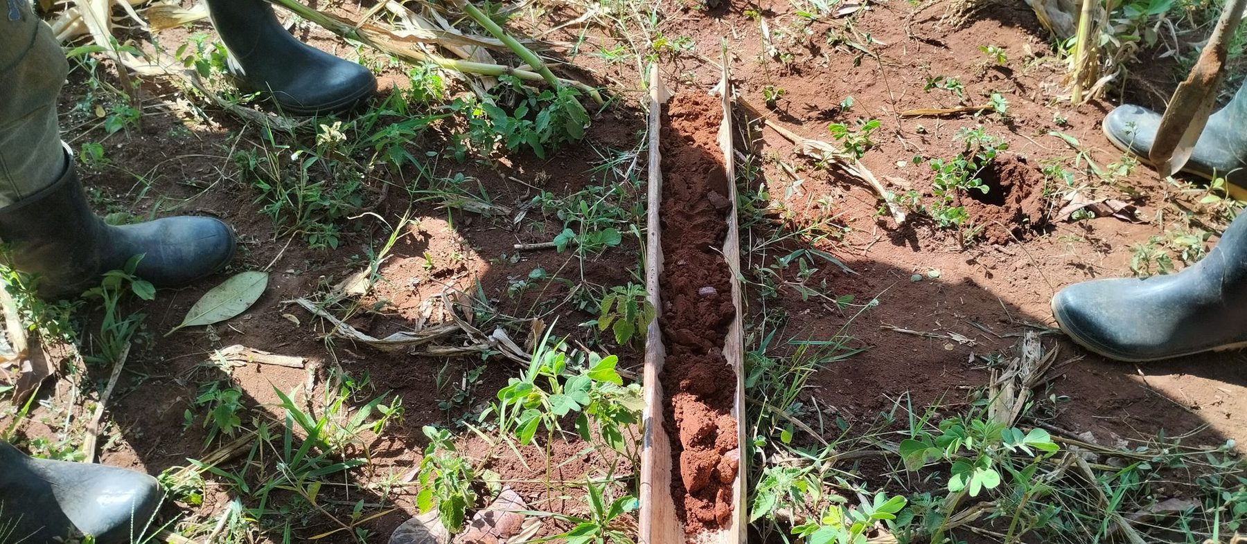
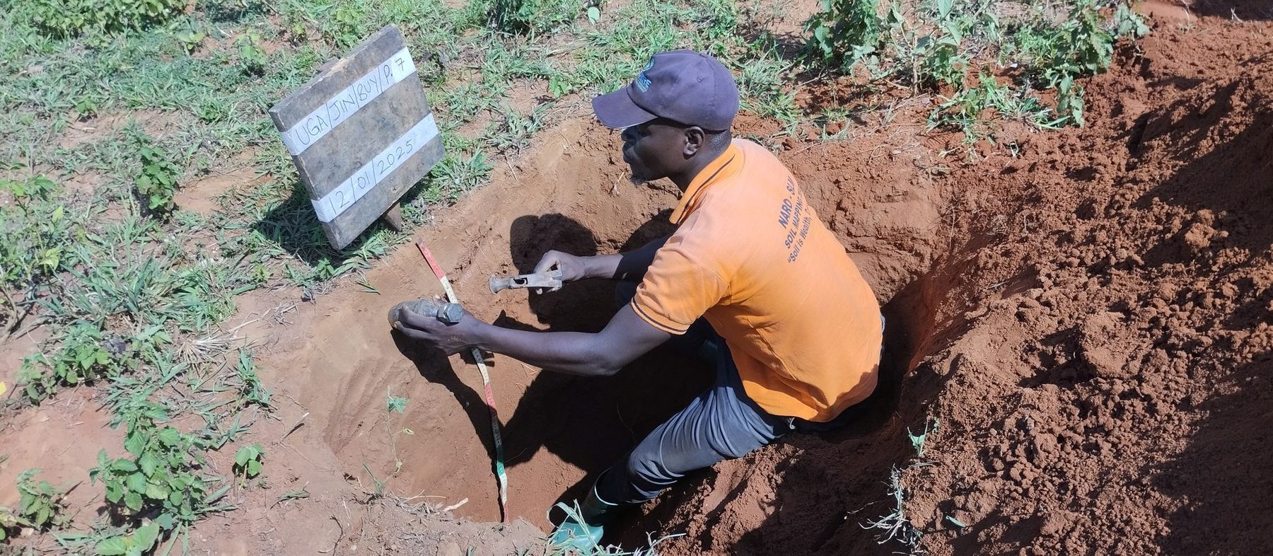
In response, the Sustainable Land Management (SLM) Project, under the auspices of the National Agricultural Research Organization (NARO) and supported by the Global Environment Facility (GEF), took on the task of updating Uganda's soil map to a more detailed scale of 1:50,000, using the standard World Reference Base (WRB) soil classification guidelines.
So far, six of the 17 main soil mapping sheets at 1:250,000 scale — Masaka, Kampala, Kabale, Fort Portal, Mbarara and Jinja — have been surveyed. The surveyed areas consist of approximately 123 smaller 1:50,000-scale sheets, all below 1° latitude, representing approximately 40% of the entire country. Final soil maps for the Masaka sheet have been produced, while the other five sheets are under processing.
Improving access to soils information
To improve dissemination, the project has devised several strategies to increase access to soils information: dissemination workshops, print media (brochures, posters and a Uganda Soils Book), and electronic media (an online soils information system). Two flagship products — the “Uganda Soils Book” and the “Uganda Soils Information System”, accessible at www.slm.go.ug — are already being developed.
Key partners
NARO coordinates the soil mapping exercise, with other key institutions involved including Makerere University, Busitema University, the Ministry of Agriculture, Animal Industry and Fisheries (MAAIF), and the private sector.