Sustainable Land Management, defined for this context
Sustainable Land Management is the combination of practices, planning and institutional support that keeps Uganda's soils, water and vegetation productive without trading away long-term fertility for short-term yield.
The SLM programme is a component within a wider framework that brings together different stakeholders to address land degradation. It strategically and incrementally promotes and institutionalises SLM practices through a collaborative arrangement between the Ministry of Agriculture, Animal Industry and Fisheries (MAAIF) and the National Agricultural Research Organization (NARO), to deliver broader technical options to farmer groups. NARO and MAAIF jointly implement SLM activities, much of it derived from a sizeable body of analytical work and investment programming by government and district local governments — strengthening SLM information support, investment planning and monitoring across the agricultural sector.
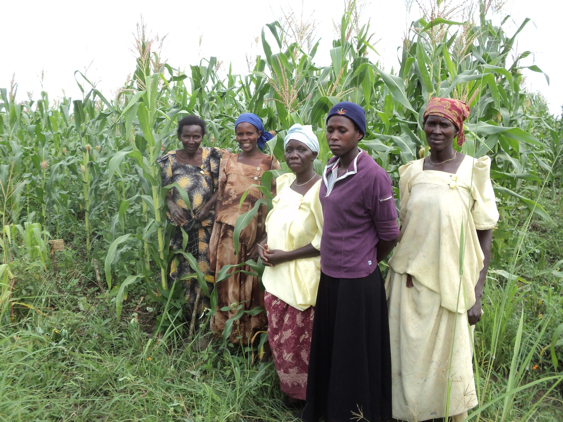
Since targeted SLM activities started in earnest in 2010, communities have increasingly appreciated the need for land management and resource planning, and the area under SLM has grown substantially as a result. SLM practices and technologies have helped reverse the negative trends of land degradation — especially soil erosion and declining soil fertility — leading to increased crop yields. They have also reduced downside production risks, increasing resilience among communities amid a changing climate. The outcome: improved food, nutrition and income security among households.
Mandate and current arrangement
SLM in Uganda is delivered through a joint arrangement between two national institutions: the Ministry of Agriculture, Animal Industry and Fisheries (MAAIF), which sets agricultural policy and investment direction, and the National Agricultural Research Organization (NARO), which leads the technical and research side of the work — soil science, technology validation and field demonstration. Much of the current programme builds on analytical work and investment programming carried out with government and district local governments over more than a decade.
On the ground, the work is anchored in NARO's network of Zonal Agricultural Research and Development Institutes (ZARDIs) — among them Abi ZARDI (West Nile), Bulindi ZARDI (Lake Albert Crescent) and Buginyanya ZARDI (South Eastern Agro-Ecological Zone) — each carrying out adaptive research and demonstration suited to its own agro-ecology. See Zones & Hotspots for profiles of these institutes and the wider agro-ecological zones they serve.
Confirmed from source documents
Joint MAAIF & NARO institutional arrangement.
SLM activities targeted in earnest from 2010.
National in scope, delivered through government, ZARDIs and district local governments.
Uganda at a glance
Welcome to Uganda: a land with heartwarming people filled with hospitable gestures towards anybody that finds their way into this magical land. Indeed for so much, many refer to Uganda as the “Pearl of Africa” an endearment that was first coined by Sir Winston Churchill in 1907, when overwhelmed by the country’s scenic wonders and lush beauty..
Located in the Great Lakes Region of East Africa, Uganda covers 197,100 square kilometers of land and 43,938 square kilometers of water, making it the 81st largest nation in the world with a total area of 241,038 square kilometers. The total population currently is 45.9 million people (UBOS 2024). The country’s tropical climate has temperatures ranging from 21-25°C (70- 77°F), apart from the mountainous areas which are much cooler. Although the country is astride the Equator, it enjoys pleasant weather moderated by big water bodies such as Lake Victoria and high range mountains like the Mountains of the Moon (the Rwenzoris) in the western region and the Elgons in the east. .
Governance: Beginning in 1894, Uganda was ruled as a protectorate by the British. The country gained her independence from Britain on 9th October 1962. Since then, there have been intermittent conflicts, including a lengthy civil war in the northern region, which lasted for over 20 years. The conflicts have had a negative impact on the human development index and the country’s natural resource base. Currently, the entire country is peaceful and social, economic and political strategies have been put in place to spur sustainable development.
Economy: The country has large untapped reserves of both crude oil and natural gas. The country’s list of mineral resources include; Copper, Cobalt, Tin, Phosphates, Vermiculite, Diamond, Gold, Petroleum, Chronite, Magnetite, Uranium, Iron ore, among others. The favorable soil conditions and climate have contributed to the country's agricultural success. Most areas of Uganda have usually received sufficient rainfall. Temperatures vary only a few degrees above or below 20 °C but are moderated by differences in altitude.
Challenges: The growth of the country’s economy is hampered by poor infrastructure and lack of cheap and reliable power supply. Lack of finance is an additional problem. Uganda's climate is naturally variable; however of late due to climate change and variability, the frequency and severity of extreme weather events such as heat waves, droughts and floods have increased, leading to negative socioeconomic and environmental impacts. Land degradation in Uganda is a serious problem, however through government programs under the Ministry of Agriculture Animal Industry and Fisheries (MAAIF) and the National Agricultural Research Organization (NARO) through projects such as the Sustainable Land Management (SLM) Project, more sustainable development and improvement is being done to control soil erosion and soil fertility depletion which are the main land degradation problems in Uganda. .
Opportunities: Uganda is rich in natural resources and most of them have not been fully exploited, e.g. the discovered petroleum wells in the Albertine region in western Uganda. Thanks to Uganda’s favorable climate and relatively good soils, the agricultural sector [including crop production, livestock, fisheries, and forestry] holds huge potential. There are several scenic wonders across the country, from the breathtaking hills in southwestern Uganda through the rolling hills of the Ankole sub region and the lush green valleys and shining waters of Lake Victoria in the central to the beautiful mosaic savannahs of northern and northeastern Uganda. Beneath the ground is another world of beauty and richness, the source of the country’s agricultural and environmental endowments – the soil. Our land and soil resources are the roots of the wealth and heritage of the Nation.
Quick facts
Total area: 241,038 km² (197,100 km² land)
Population: 53,200,070 (UBOS 2026)
Climate: Tropical, 21–25°C
Main land degradation drivers: Soil erosion & fertility depletion
Areas of work
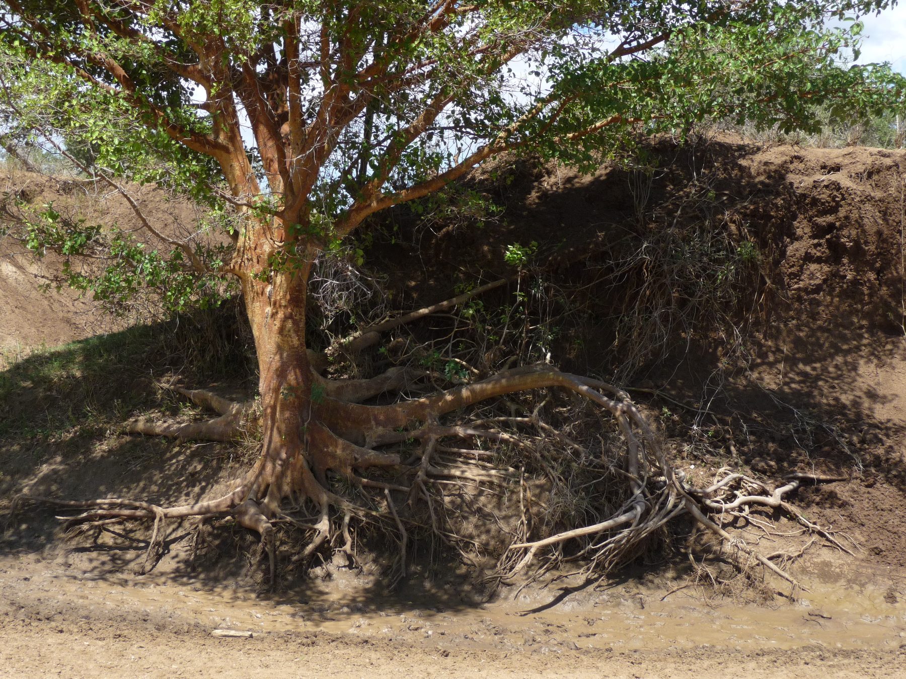
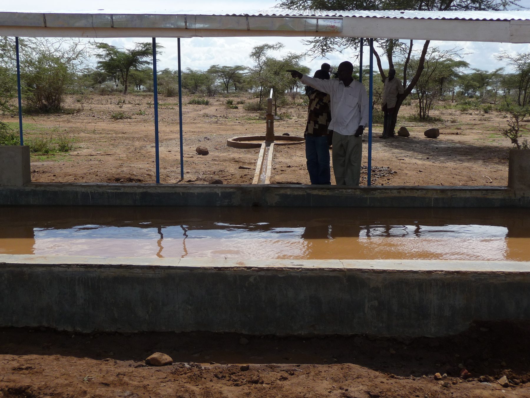
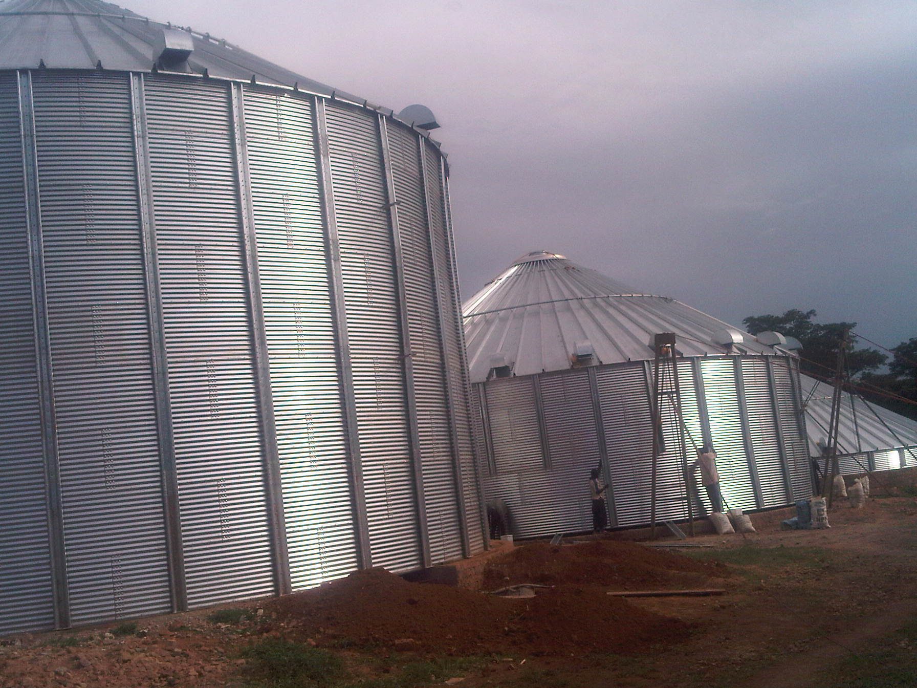
Soil & land information
Mapping, surveys and spatial products that describe land condition.
Technology development & validation
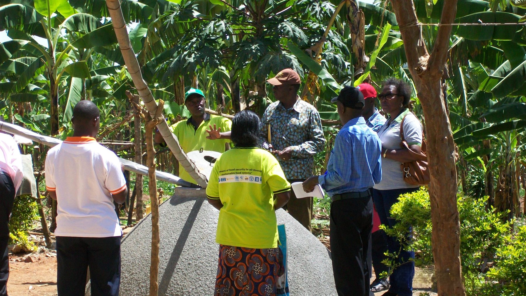
Testing and adapting SLM practices — e.g. manure & mulch conservation farming, agroforestry, Ca-bentonite soil amendment — for Uganda's farming systems.
Land degradation assessment
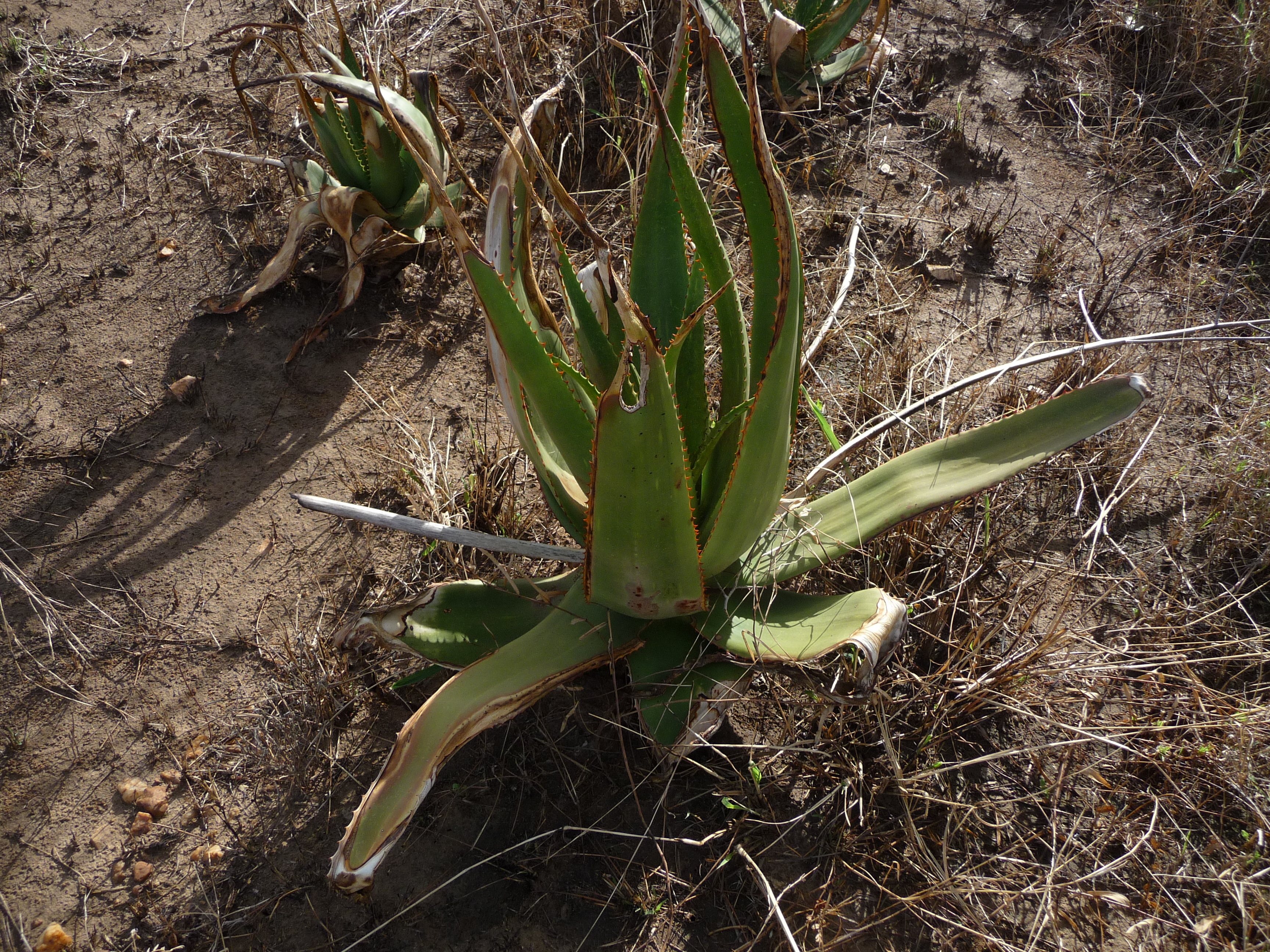
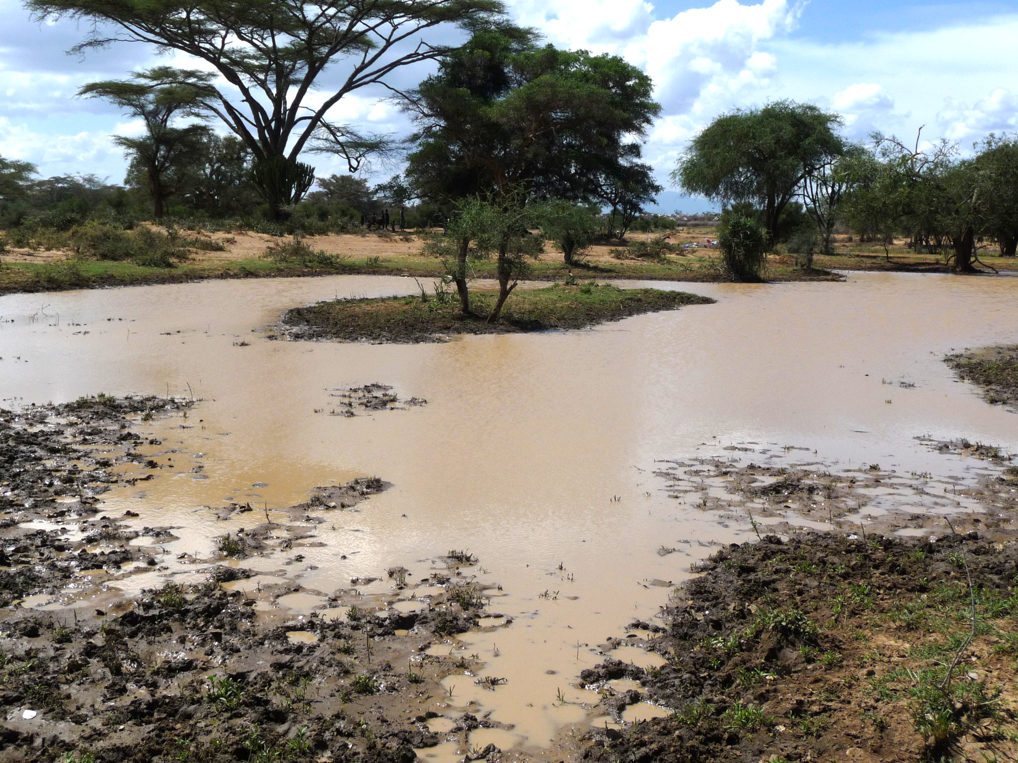
Identifying priority degradation hotspots and mapping rainfall/temperature change.
Demonstration, training & extension
Field-level support, including the CSA Training Manual developed with ULN and GIZ.
Research & policy support
Peer-reviewed research and policy briefs that feed district and national planning.
Knowledge management & partnerships
Maintaining the platform and coordinating with partners such as NARO, MAAIF, ULN and GIZ.
Who to talk to
Dr. Drake N. Mubiru
Senior Principal Research Officer (SPRO), NARO. Dr. Mubiru is a Soil Scientist by profession with more than 25 years of agricultural research experience, especially soil fertility management; soil and water conservation; and environment, including emerging issues such as the effects and impacts of climate change and variability on crop production. He obtained his M.Sc. and PhD in Soil Science at the University of Kentucky, Lexington, KY (USA) in 1992 and 2001, respectively, and a B.Sc. in Chemistry in 1989 at Makerere University, Kampala, Uganda.
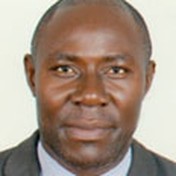
Dr. Onesmus Semalulu
He holds a PhD (Soil Fertility), MSc (Soil Science) and BSc (Chemistry). He has expertise in natural resource management; integrated soil fertility management; applied soil chemistry; nutrient recycling; and environmental management issues.
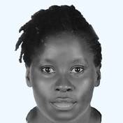
Ms. Priscilla Vivian Kyosaba
She holds an MA (Business Administration — Project Planning and Management) and a BA (Office and Information Management). She has expertise in strategic project planning, office administration, and efficient information management.
Selected publications for Dr. Mubiru and Dr. Semalulu are listed in the Research & Publications section.