


Estimation of the size and changes of soil organic carbon (SOC) stocks is of great importance for decision-makers to adopt proper measures to protect soils and to develop strategies for mitigation of greenhouse gases.
This study assesses the relationship between soil organic carbon stocks and different land management practices by farmers at different landscape positions, across nine Agricultural Production Zones (APZs) of Uganda. It is done systematically, in two stages:
1. Household surveys
Surveys are conducted from three purposively selected sub-counties, one each from three selected districts in each of the nine APZs. For every selected sub-county, six households are randomly selected from each of the landscape positions present in the area of interest — shoulder/upper slope, mid-slope, and lower slope/valley bottom — and interviewed to collect plot-level information, including land management history. This is intended to establish the link between SOC levels of the sampled soils, the prevailing land management practices, and landscape positions.
A total of 18 households are interviewed per sub-county in each district, bringing the total number of households interviewed per APZ to 54 (18 households × 3 districts × 1 APZ), and the total sample size for the survey to 486 households (54 households × 9 APZs).
2. Soil sampling
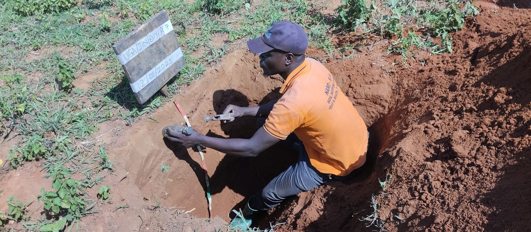
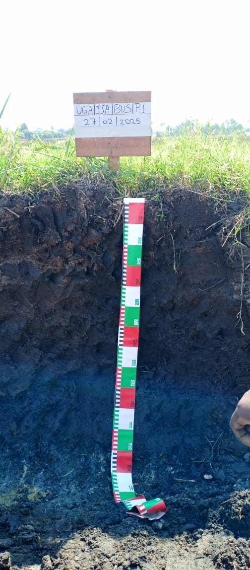
After a brief interview with the household head, a one-acre plot is purposively selected to be representative of that particular landscape position, and about 15 soil cores are obtained from a depth of 0–20 cm. These are mixed thoroughly to make one homogenous sample of about 100 g, which is then sent to the laboratory at the National Agricultural Research Laboratories (NARL), Kawanda, for analysis.
While sampling, great care is taken to avoid particular spots — old fence lines, old compost pits and termite hills — that could potentially bias SOC results. In total, about 54 homogenous core samples are obtained from every APZ. These sampling/augering points carry elevation and spatial information (latitude/longitude), and are therefore processed in a GIS environment to produce the Soil Organic Carbon Stocks Map of Uganda.
Because samples are taken from only a few representative selected sub-counties in a district, statistical interpolation is employed to estimate soil organic carbon stocks for places where no samples were picked. Supplementary field surveys are then conducted to validate the resulting soil organic carbon stock map and determine its accuracy.
Responsible persons
Dr. Drake N. Mubiru, Principal Scientist, NARO and SLM Project Coordinator.
Mr. Joram Bahati, Research Assistant, NARL Kawanda.